Hello, lovelies! The Great of 2020 continues, and it has arrived in Wyoming!
Well, you already knew that, because my last post was from Buffalo, WY.
But you didn’t know any details about this leg of the trek. I will now update you.
The Devils Tower
You know, I’m starting to sense a theme on the Great Trek: Devil’s Backbone, Little Devil’s Tower, Devil’s Tower…. Hmm.
Perhaps I am going to hell in a handbasket?
Naaaah far too slow a method of transportation for me.
Anyways.
Before I distracted myself (I have had SO. MUCH. CAFFEINE. since I sat down in this excellent coffee shop, but more on that later)….
Before I distracted myself again,
UGH,
I was going to tell you how very happy I am that I made the detour over to Devils Tower.
I think I am about to have some kind of stroke from typing “Devils Tower” with no apostrophe, but the official literature from the park proclaims it to be “Devils Tower Nation Monument,” so….. no apostrophe it is.
Right. Caffeine. Devils Tower. *cringes*
[The name is an egregious mistranslation the original Lakota name, which was, more or less, Bear Lodge.]
This tower of rock is well worth the forty-ish minute detour off the interstate. In fact, I rather regret that I spent several days in the Black Hills and only drove by here, rather than the reverse.
It’s that spectacular.
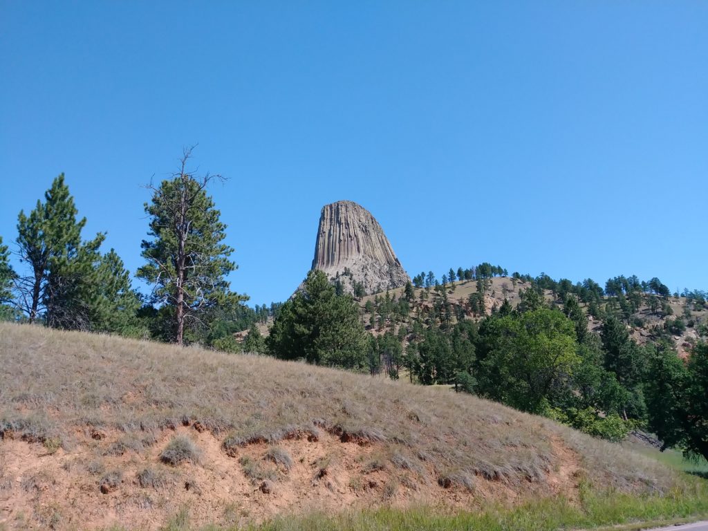
You can see it from a long ways off- at least 16 miles. It looks like absolutely nothing else around it, which intensifies the impressiveness of it.
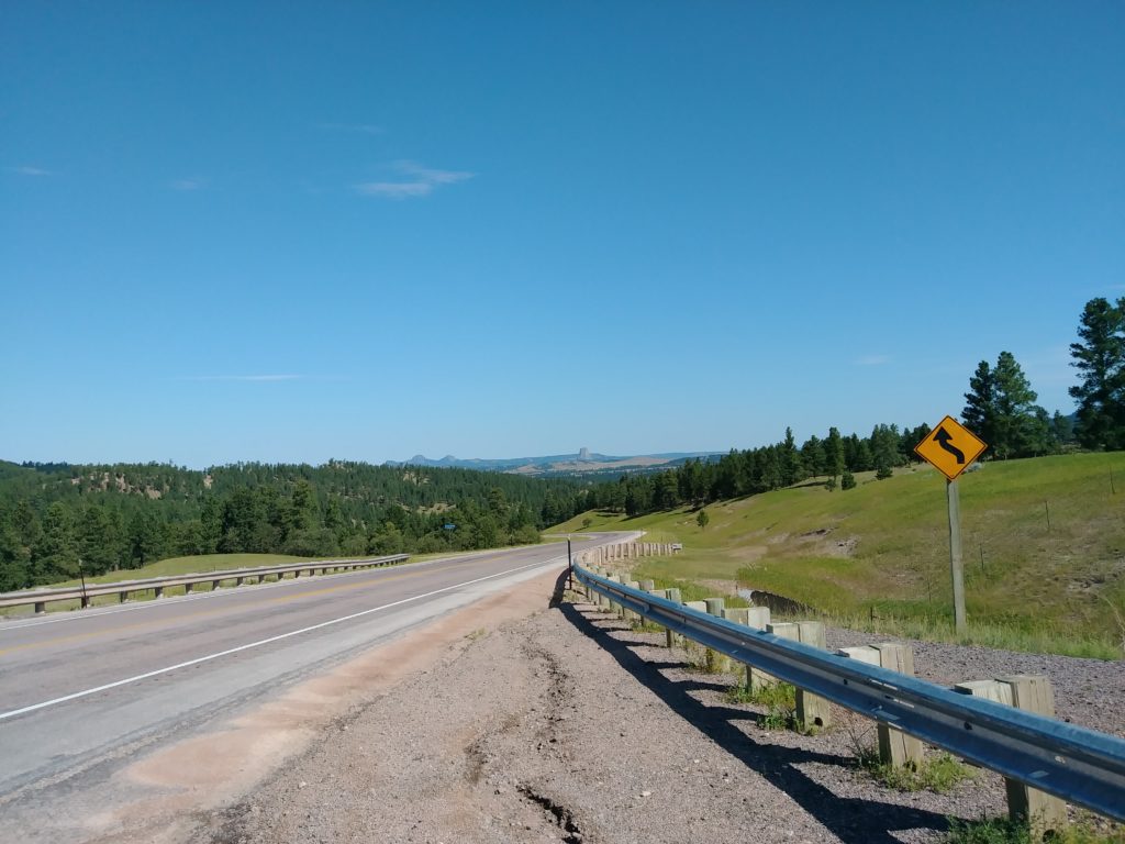
first glimpse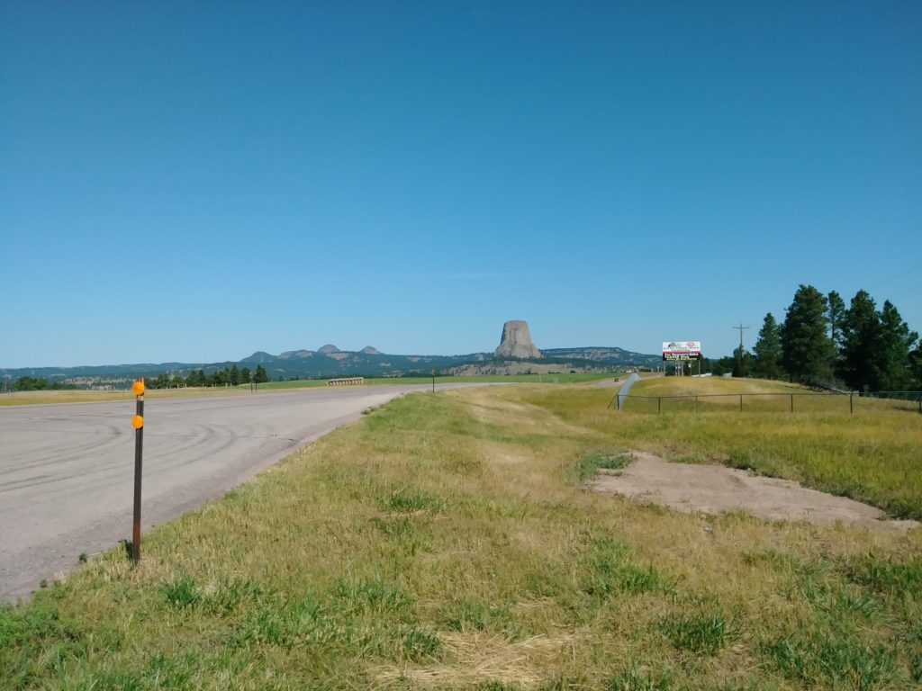
wow, it’s getting big! 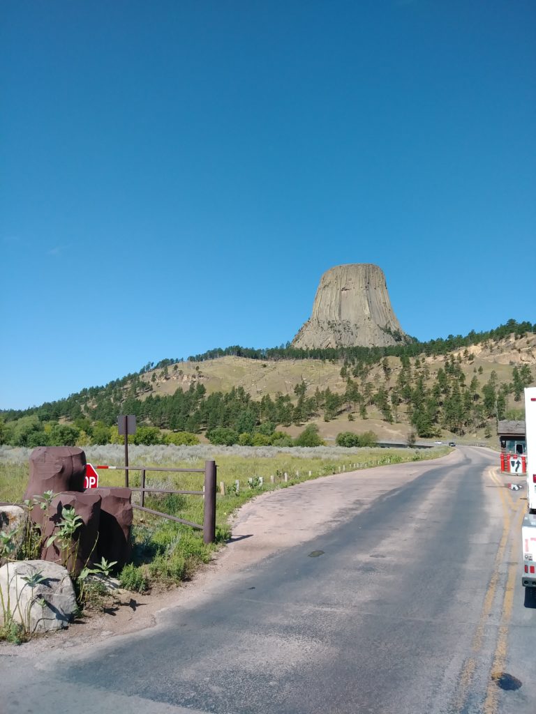
in line at park entrance
In 2019, there were over 500,000 visitors to Devils Tower. So it was a good thing I broke camp in the Black Hills early (I was itching to go…) and got there about 10:00. Apparently from 11:00 to 15:00 in the summer, the lots are full- leaving, I believe that.
Now, I was not at the top of my game when I got to the Badlands NP and paid my entrance fee. I had a vague recollection that there was a more cost effective way to enter national parks than weekly passes, and I took the time to enquire and do it right at Devils Tower. Considering that entrance fees to national parks, monuments, what have you run in the range of $25-35 a go, I ought to save myself quite a tidy bundle with an annual pass: $80, lasts a full year, gets me into any national park, monument, BLM, Forest, whatever that’s run by the federal government.
Listen, I love saving money as much as the next poor schmuck, okay? I was excited about that.
So, you wait in line like you’re going into Disney World and buy your pass, and you can already see this massive monolith of rock and it is SPLENDID. It’s nice to have something to look at while you’re in line.
epic lens flare 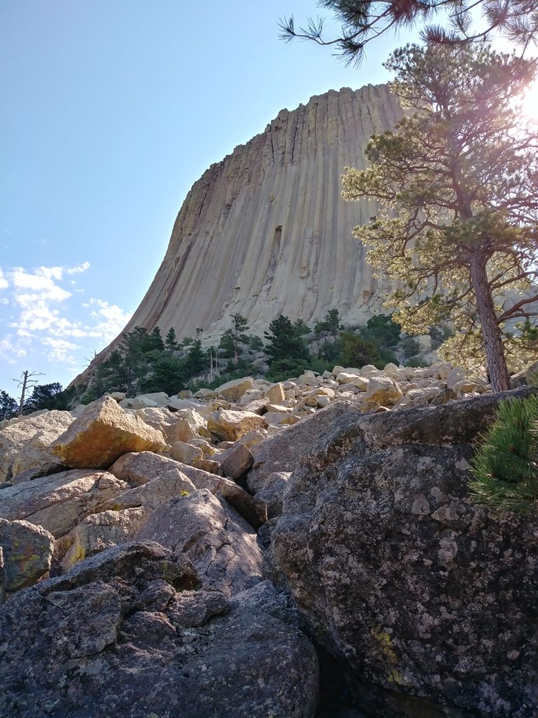
tree helping out with the lens flares 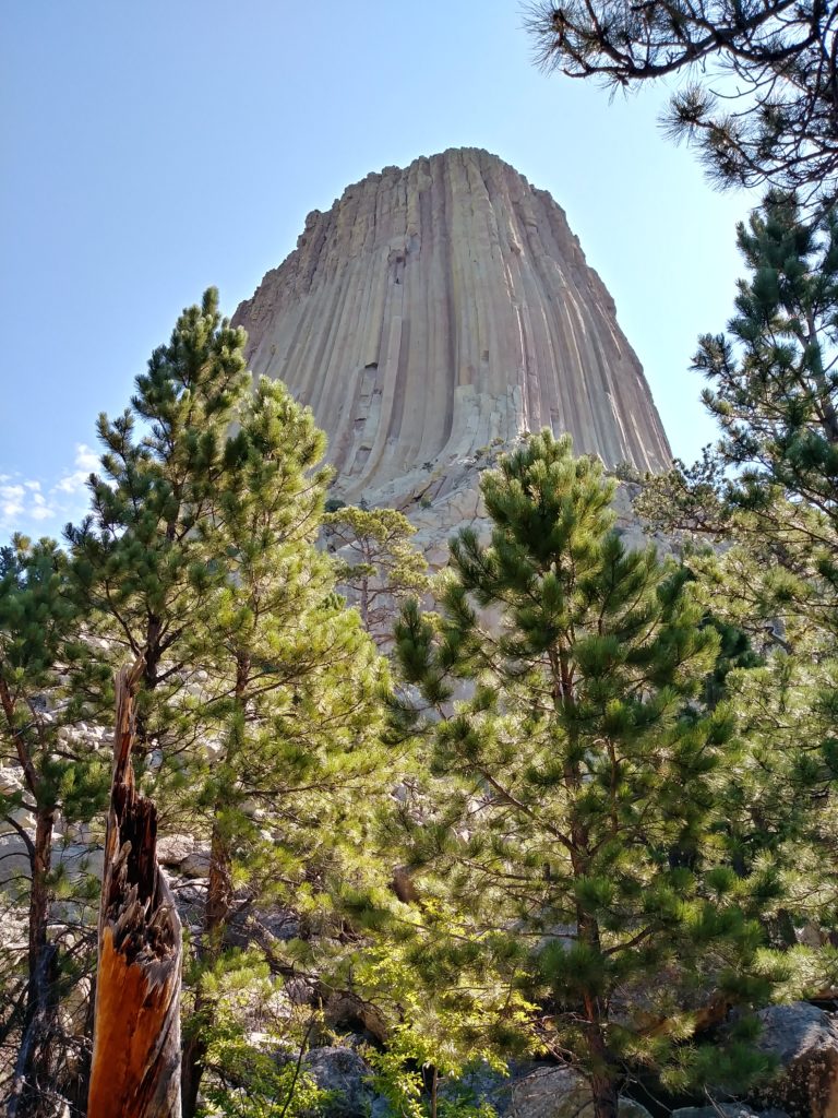
ridiculously photogenic rock
This “iconic formation,” as the park newsletter calls it, is an important spiritual place for a number of Native American nations. You’ll see all kinds of medicine bundles and prayer flags tied to trees.
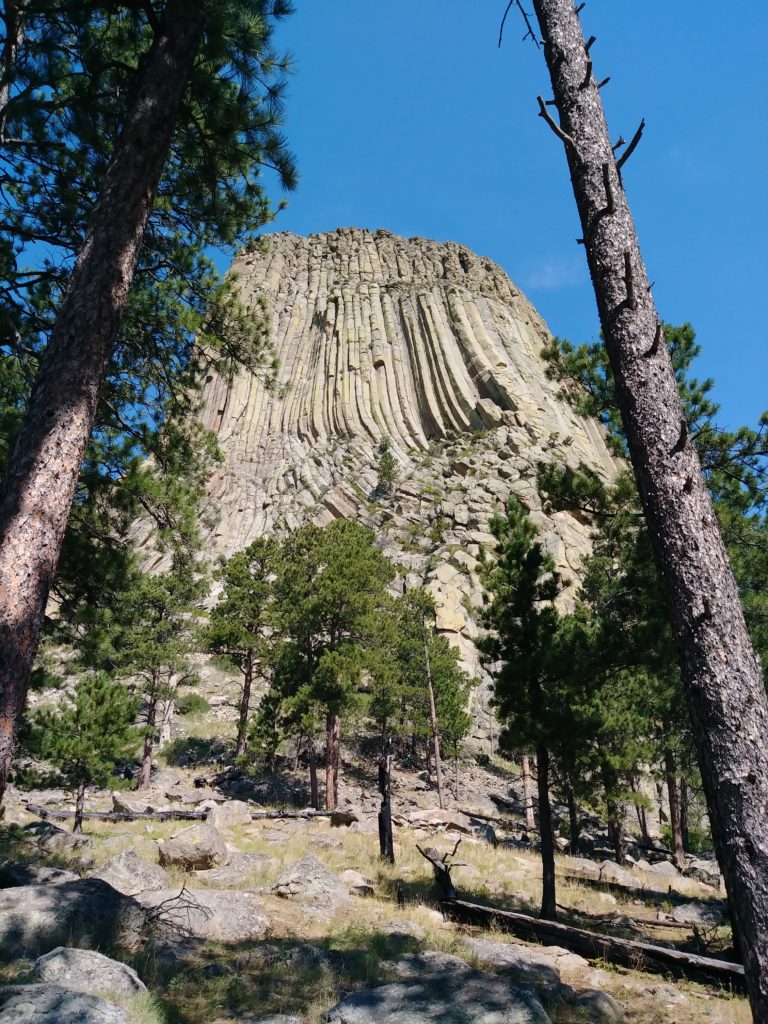
Despite the fact that getting into the parking lot is more or less like navigating entry into a busy state fair on free pie day, I was immediately struck by a sense of calm and awe. I only had time to do the short paved trail (Tower Trail, 1.3 miles) that runs around the base, but I felt like I was walking through a cathedral.
I would gladly go back and just sit here.
Even the trees seemed to have a special variety of effervescent good energy. I loved it.
Fun fact: big, mature Ponderosa pines have thick bark that can withstand fast-moving forest fires. It’s the little tiny ones, packed close together, that get devastated by forest fires. So the trees here, large and spread apart (not really pictured), appear to be optimally positioned to survive any such thing.
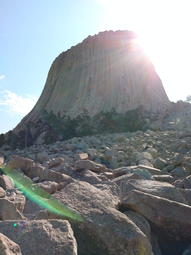
You’re allowed to scramble about as you please up to where the boulders end; after that, you need to register as a climber. Most people climbing it today are “free climbing,” making use of natural features to get up, along with roping themselves to some temporary anchors they place in the rocks, obviously.
Of historical interest, Devils Tower George landed from a parachute jump on top of the tower on 1 Oct., 1941. He was looking to prove that you could parachute and land on a very specific area- you’d think he could’ve chosen a less dangerous acre to prove this on. He landed just fine, but the rope that was tossed after him from the airplane missed the top of the tower.
So, rather than being up shit creek with no paddle, he was up Devils Tower with no rope. Same difference. It took six days to figure out how to get him down. (They sent up a climbing team for him.)
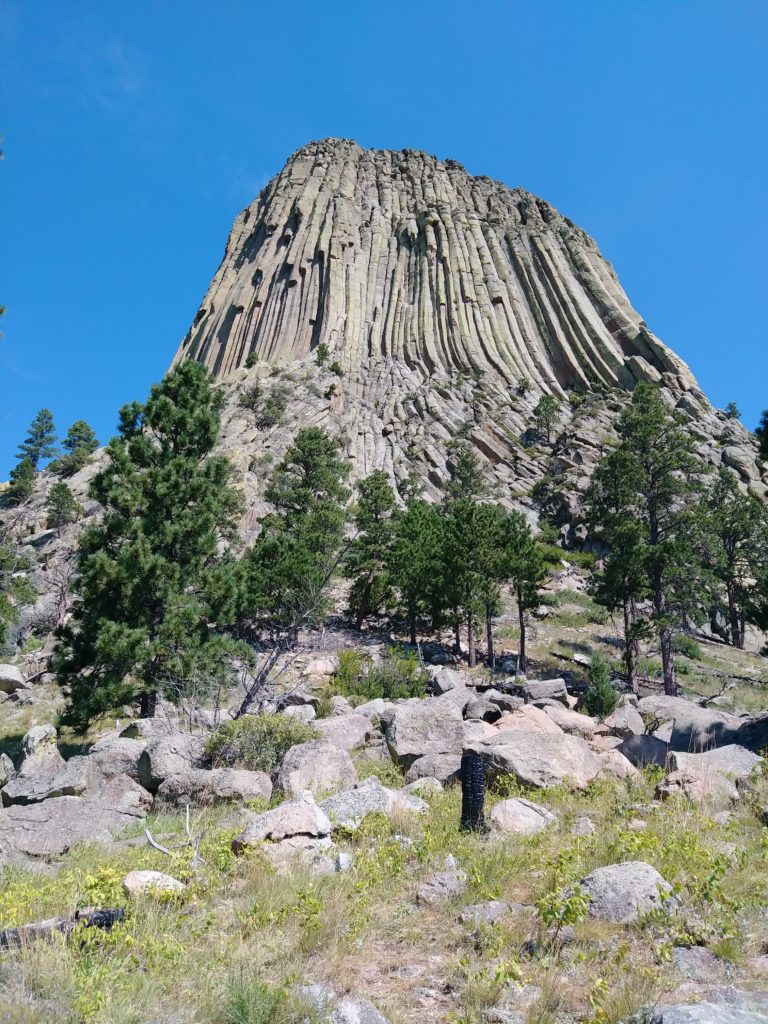
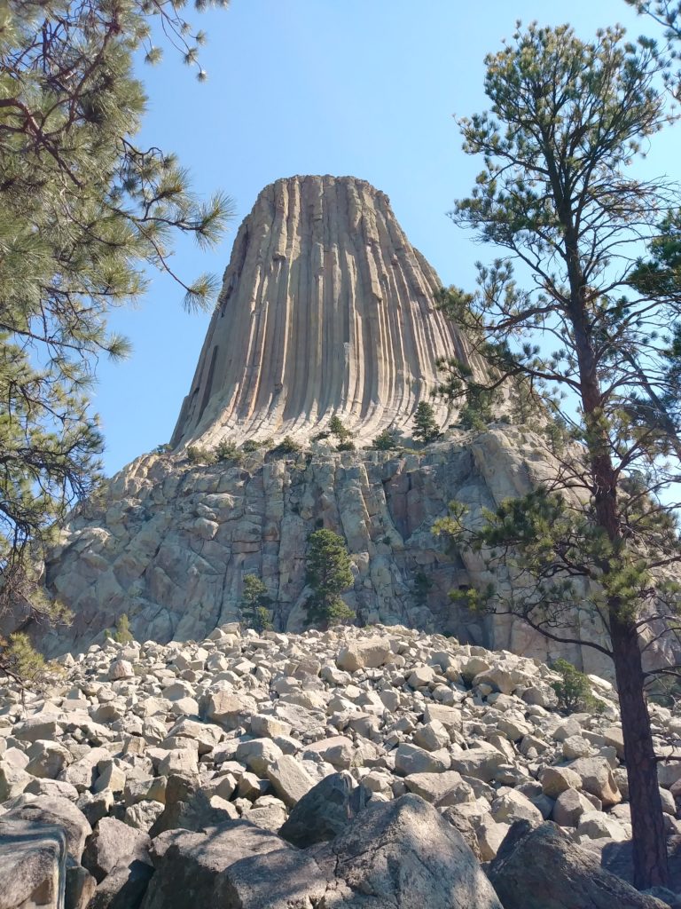
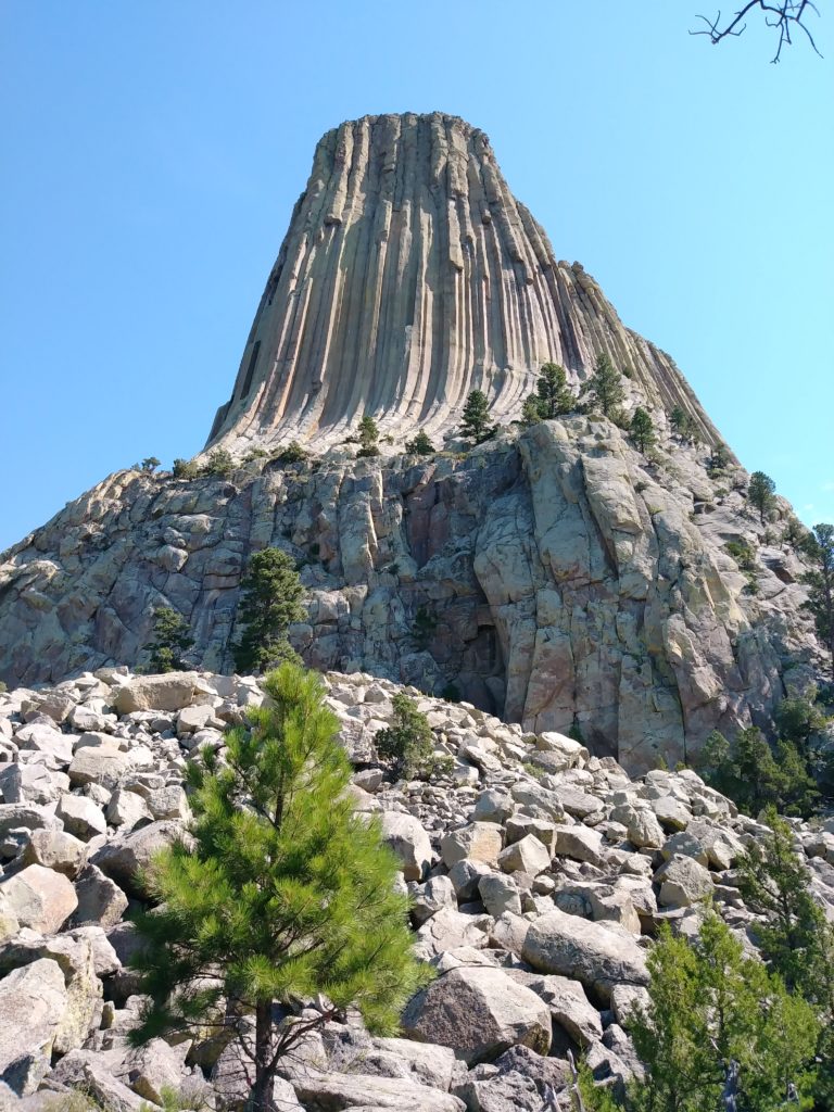
If you look closely, the tower is made up of columns, having between 4 and 7 sides. These are the tallest and widest of their kind in the world. The last column fall is unknown (you can see fallen ones about the base), but I learned that rocks the size of basketballs and under routinely fall off the tower.
It’s very interesting how this tower came to be. The process isn’t 100% understood, but the general idea is that magma forced its way up through the sedimentary rock and cooled (becoming igneous rock). The cooling process is what formed the columns. The sedimentary rock, being far softer than the igneous rock, gradually eroded away, leaving the tower behind.
exit view 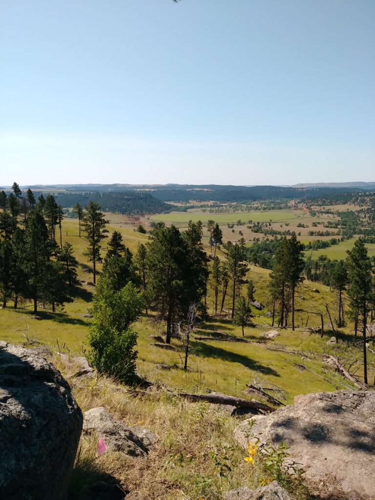
view from the side of Devils Tower 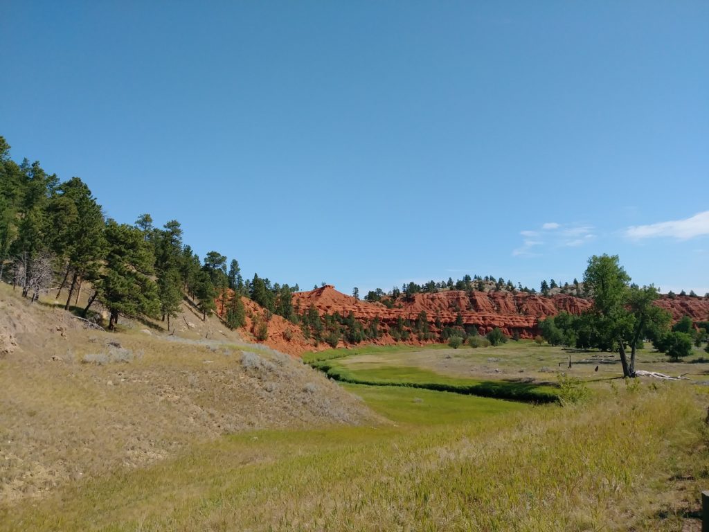
side view near Belle Fourche River, below Devil’s Tower 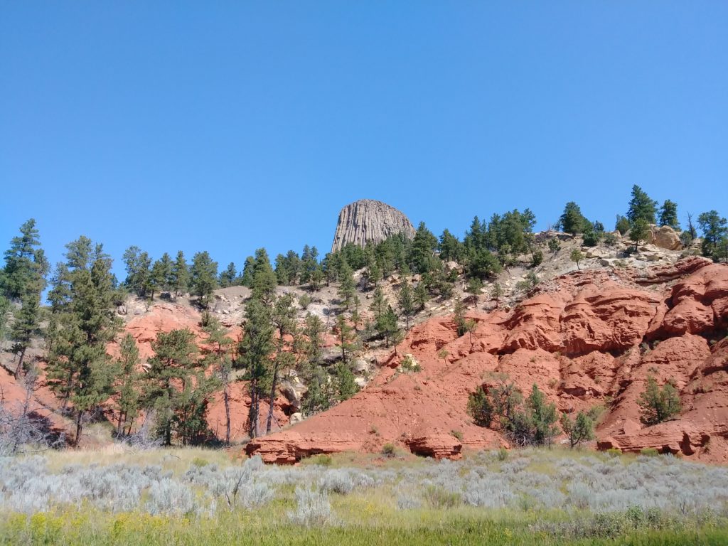
Devil’s Tower above the kind of sedimentary rock that eroded away from it
Bighorn National Forest
After Devils Tower, my next stop was Buffalo, WY. No resemblance to Buffalo, NY, except that there was a thunderstorm here, too- not as bad as the NY one I drove through at the outset of the Great Trek.
Anyways, Buffalo was a necessary place to stop, type up my last blog post, and write down directions for getting into Bighorn National Forest. There’s not even a whisper of a cell phone signal up there.
I camped for two nights at Tie Hack Reservoir in Bighorn NF. The elevation of that reservoir is 7,900 feet. I sure felt it when I went running and started going uphill!
The camp host is an odd bird (though friendly and nice in her own way), but Peggy gets any oddities forgiven for the fact that she kept those vault toilets smelling like motherloving bleach, scouring them three times a day. I can’t remember the last time I saw such a clean bathroom, even ones with running water. Bless her.
The trees are very small and densely packed, apparently having as much a struggle in the rarified atmosphere as I was. It smells divine, though. The area is obviously in the throes of a drought, and campfires were forbidden. The mountains- I saw them when I was still several hours’ drive away.
I hiked around Tie Hack Reservoir. It’s lovely, but if the trail continues around the back end, then I completely missed it. By the time I had to admit defeat and that I could not locate the trail after crossing the stream, it was too late to turn back. I forged ahead. It’s tough going in those forest- steep terrain, densely packed trees- many fallen trees on the ground, with very numerous branches… I have an excellent sense of direction. And it’s hard to get lost when there’s a lake on your right.
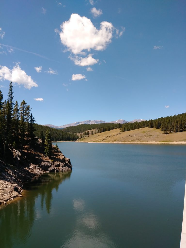
Tie Hack Reservoir, near the dam 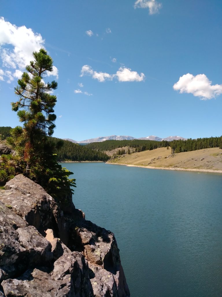
sentinel tree 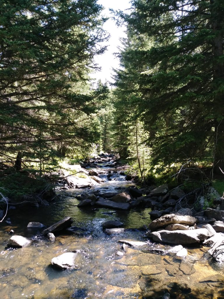
A stream feeding the reservoir. Last known location of trail. 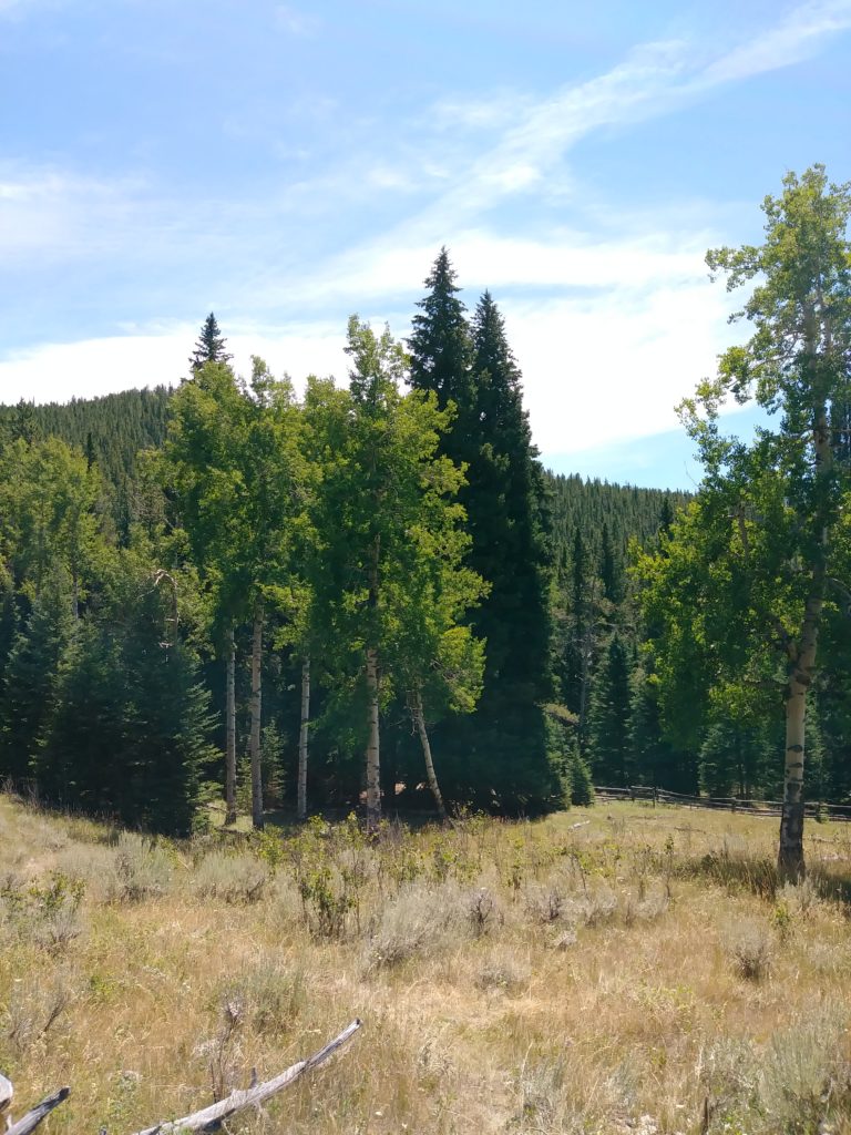
Stand of aspens
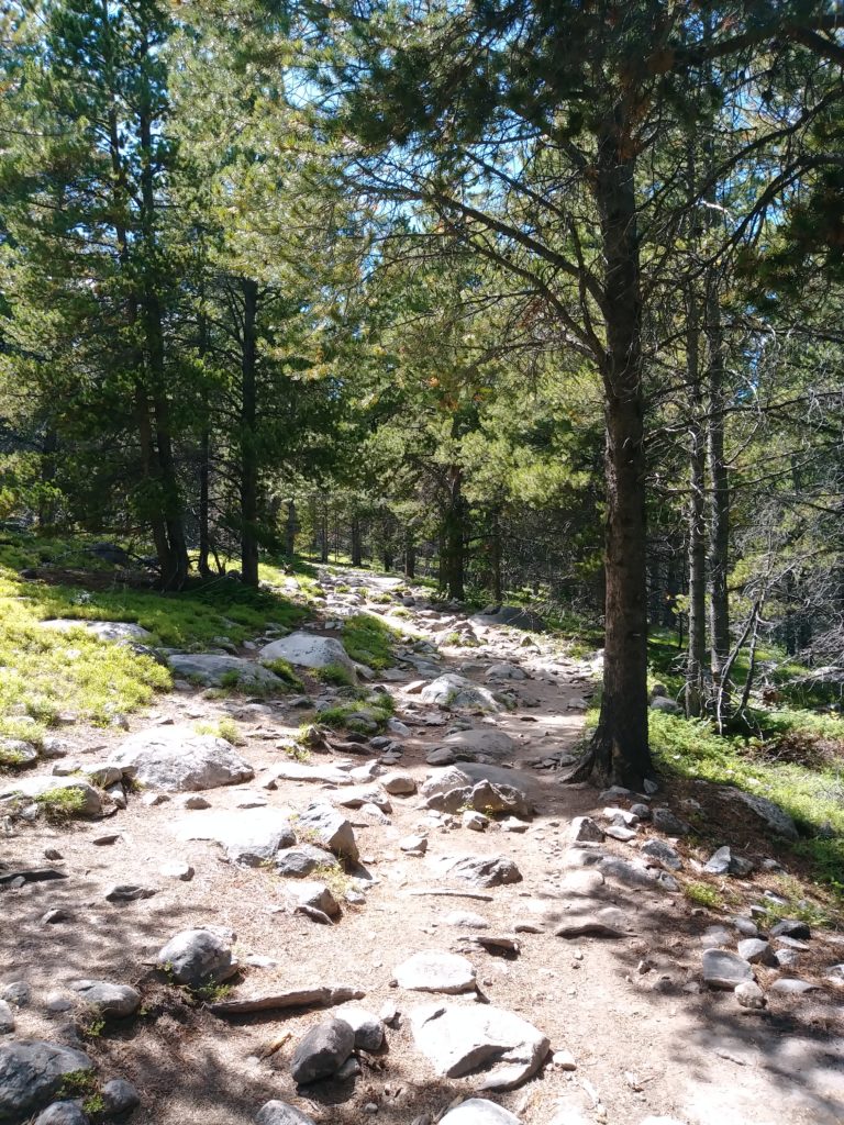
I also tried out the trail off Circle Peak Road, imaginatively named “Trail 046.” I did not quite follow it to the 9,000 foot line, but it was a nice hike, not too steep. It takes you up in the Cloud Peak Wilderness Area. It was just me and the trees (and a few wild lupines! I have never met a wild lupine before!). You really do feel like you’re all by yourself on the top of world. It’s so deliciously quiet.
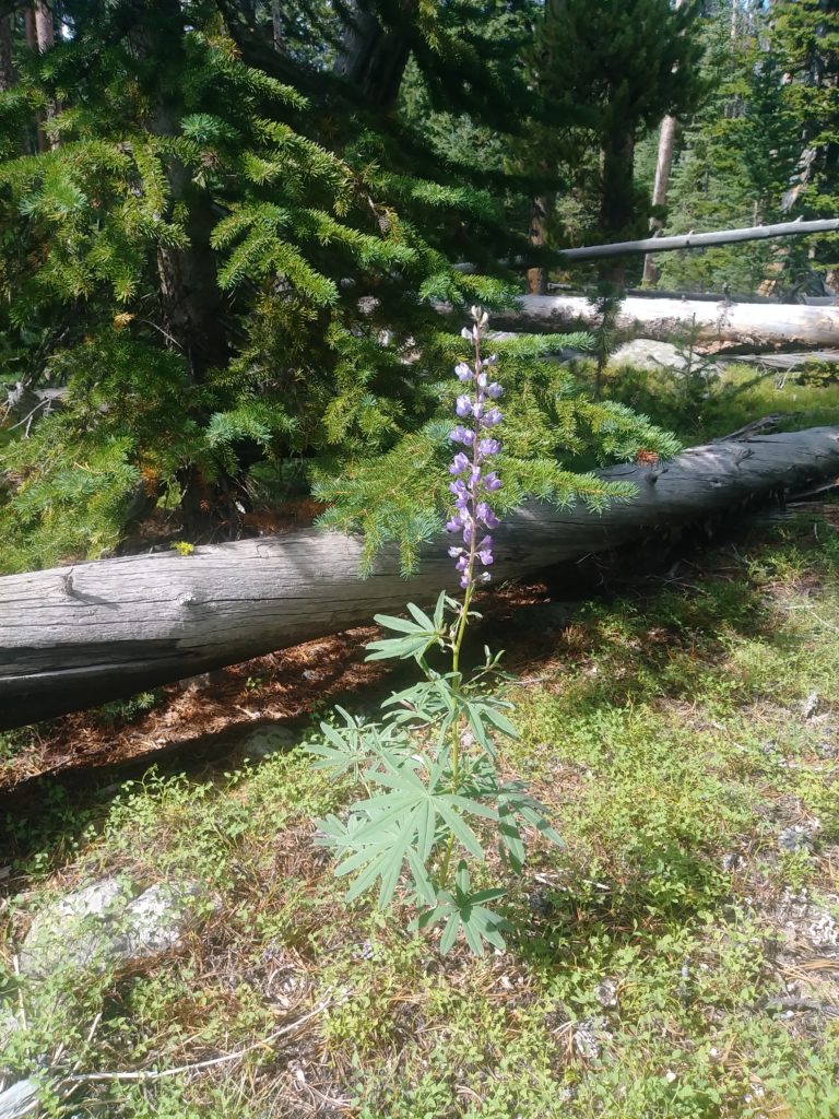
Wild Lupine along Trail 046 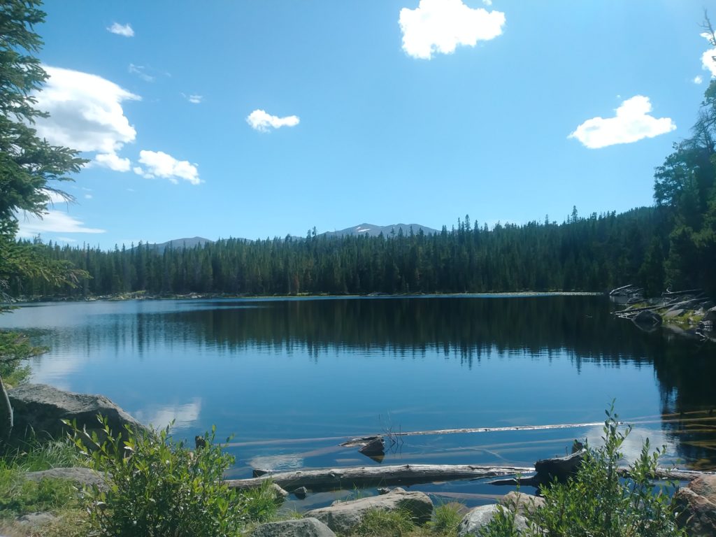
Lake where I turned around on Trail 046
It’s delightfully cool in the mountains this time of year. The thermometer struggled to crack 60°F in the daytime, and it was in the upper 40s at night. It was a welcome change. I actually sought to bask in the sun to warm up! The rest of the trip, I’ve been dodging the sun.
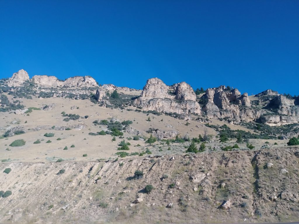
I observed on my way out that the western end of Bighorn NF has much more in the way to offer in terms of scenic views and interesting rock formations (and, I infer, interesting hikes), but I had no way of knowing that till I drove through it.
Thoughts on Wyoming thus far
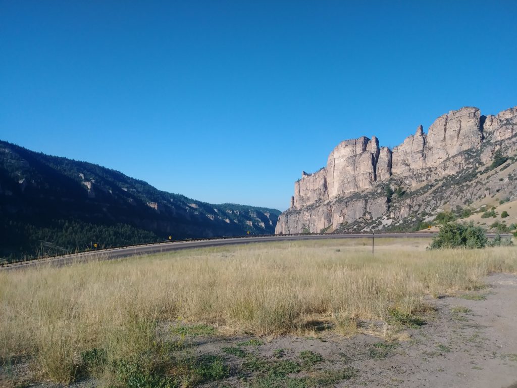
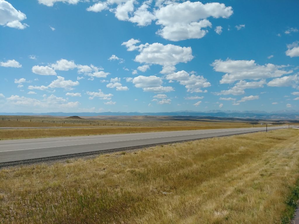
Wyoming looks like a page ripped straight from a Zane Grey novel. The big mountains with their evergreen forests and clear, fast-running creeks… the plateau (elevation of around 4,000 feet, even though you’re driving on relatively flat land, compared to the giant mountains) with rolling hills, snatches of colorful rocks peeking out from the dry grasses and sage brush- nothing there but ranches, some that’ve been in families for seven or eight generations…. (Can you imagine being that rooted to one piece of land?!)
view approaching Bighorn NF 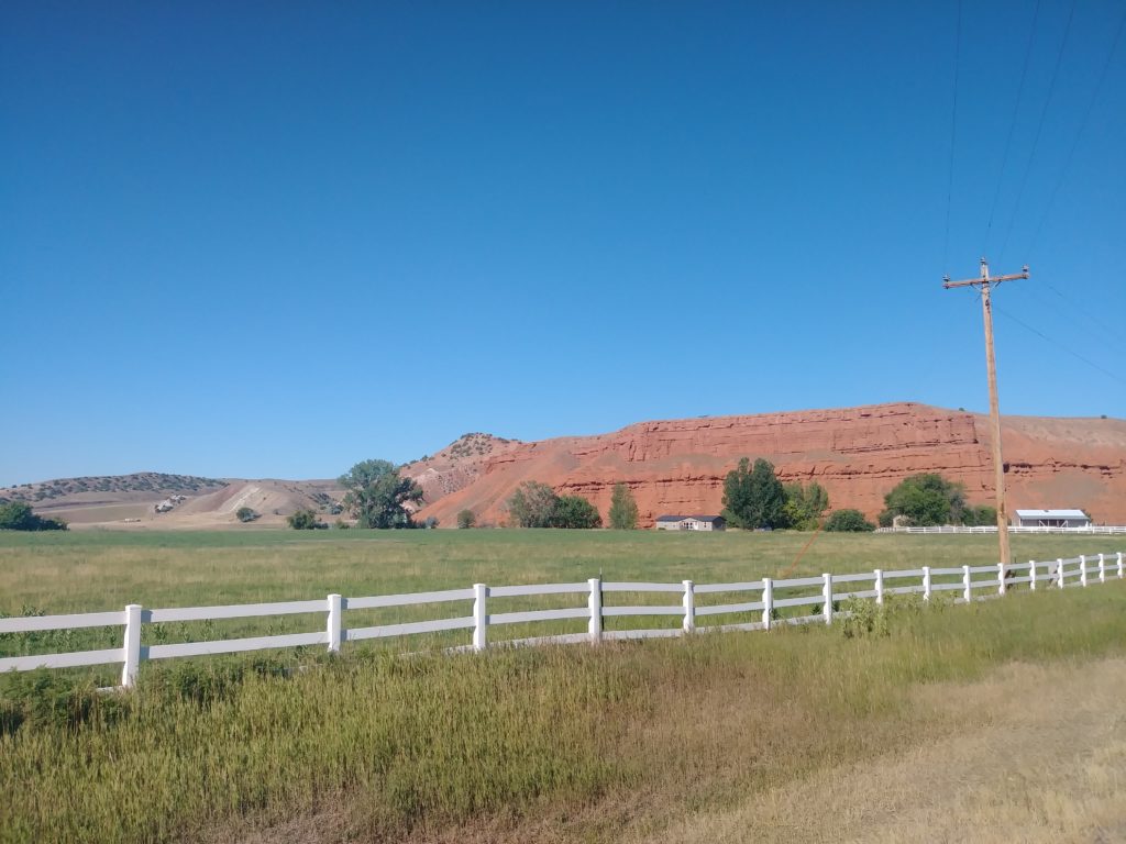
Tensleep, WY 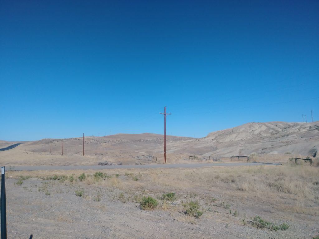
on the road to Cody, WY 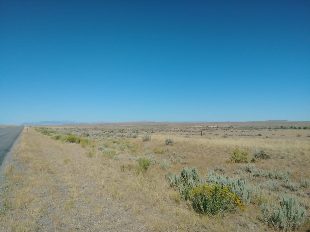
an hour or less out of Cody, WY
Cody, WY
Once I got a sufficient distance out of Bighorn NF and my cell phone picked up a signal again, Google Maps proved hopelessly useless. It tried to take me down not one, but two roads with signs declaring: “Damaged Roads Find Alternate Route.” Then it tried to take me down some dirt back road when I knew I was less than a half mile from the junction with the next highway I needed.
Useless piece of crap.
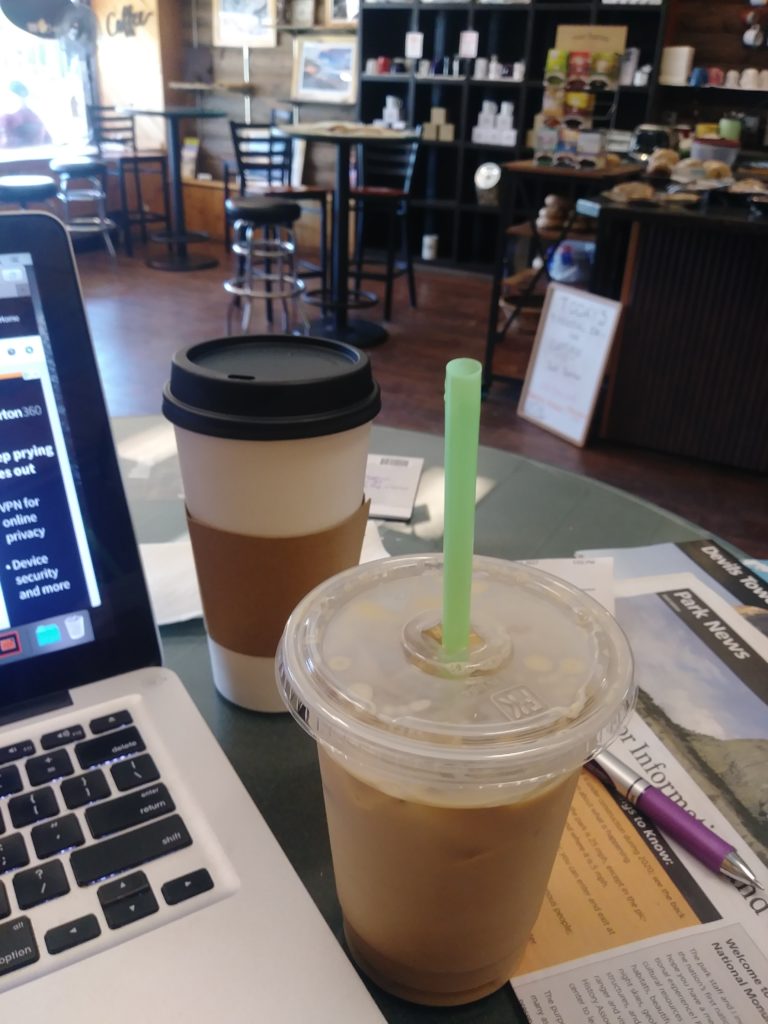
This blog post comes to you from Cody, WY, courtesy of the MASSIVE amounts of caffeine I have ingested at a superb coffee shop called Rawhide Coffee Co. I had a delicious jasmine green tea, an average breakfast burrito, and an absolutely BANGING iced cold brew coffee special called the “Captain Jack Sparrow” (WHY IS THE RUM ALWAYS GONE??????) that has butter rum, peach, and macadamia nut flavors in it and is DIVINE
AND CAFFEINE
AND SCRAPE ME OFF THE CEILING NOW.
Right. I stopped off here for an oil change for the faithful, wonderful Parker, a Walmartians run, and, obviously, some quality time with power outlet for my laptop and the free wifi.
Next stop: Yellowstone.
Here’s hoping I don’t meet any grizzly bears- or, if I do, that I am the more fearsome critter.
Or at least the more intelligent.
Stay caffeinated, lovelies!